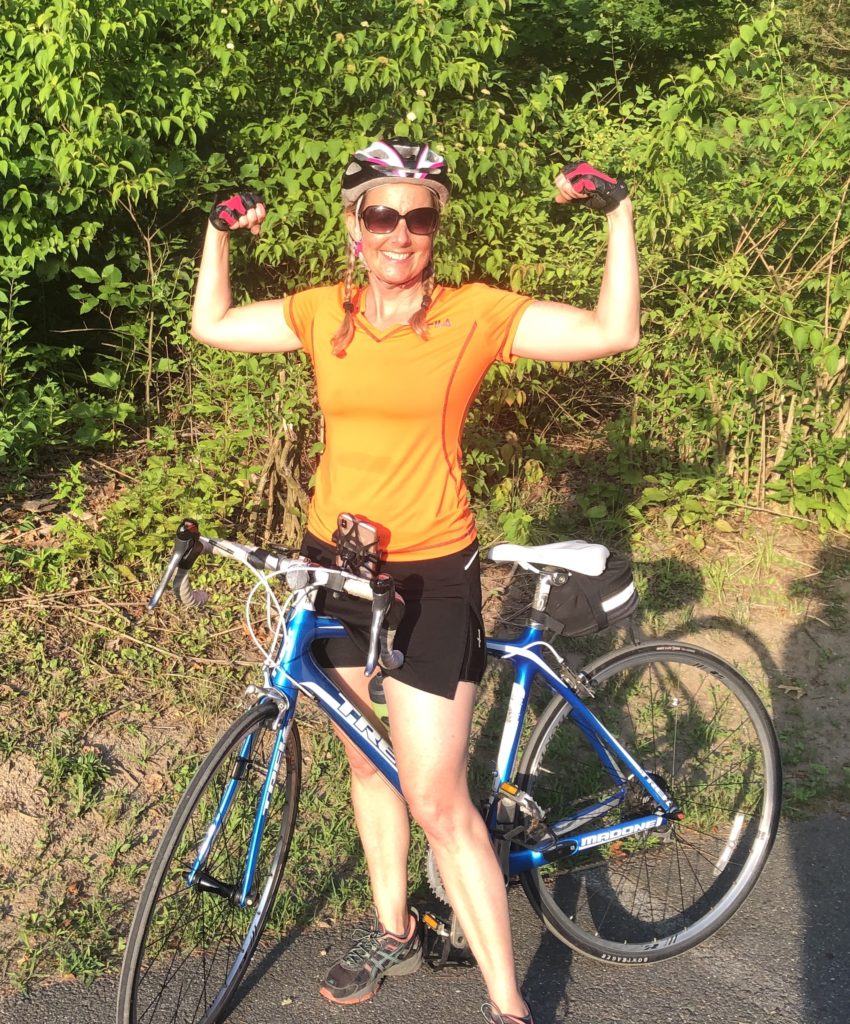
SEEING AMHERST ONE ROAD AT A TIME
Photo: pixabay.com
A town of cul-de-sacs. That was my first impression when I set out to bike every road in Amherst. My initial ride, on April 28, was a modest 13.7 miles through Amherst Woods, a neighborhood near my home. There I found myself at numerous dead ends, circling counter-clockwise around islands of daffodils and newly-leafed trees. It was a cool, overcast spring day—a big difference from the heat and bright sun on July 9 when I completed my quest.
As a biking enthusiast, I’d ridden the length of the Norwottuck/Manhan rail trail from Belchertown to Southampton several times, along with other regular routes in Amherst, particularly from our house in South Amherst to the Little League field at Mill River to watch my son’s baseball games. I’d ridden many times to and from my work at the Eric Carle Museum of Picture Book Art. Yet as the four-year anniversary of my move to Amherst approached, I realized there were many areas of my hometown that I had never been to, even by car.
My approach was decidedly low-tech. I printed maps of the 10 voting districts in town, and marked each road with a yellow highlighter once completed. I had to ride the entire length of a street for it “to count,” one of two self-imposed rules I set for myself. The other rule was that I had to start and finish every bike ride at my home; I couldn’t transport my bike by car anywhere. (I’ll admit I cheated once after a hot, 32-mile ride during which I ran out of water and called my daughter to pick me up). I soon came to regret this rule as I grew weary, physically and mentally, of biking on Route 9 with its hurtling traffic and dangerous potholes. Ultimately it required a great deal of backtracking and added a lot of extra miles. My final distance totaled 372.2 miles—and there are only 132.8 miles of roads in Amherst!
Amherst is a town of distinct neighborhoods, many defined by their architecture, whether grand Victorians, Cape Cod houses, 1970s split-levels, sprawling apartment complexes, or newer developments of large contemporary homes. I discovered the “oldest house in Amherst” hidden behind foliage on the UMass campus. (I later learned the blue colonial farmhouse, called Stockbridge House, was constructed in 1728.) Another surprise were the “hidden” churches I had never seen: a large brick Mormon church at the end of Brigham Street (appropriately named), the shingled Hope Community Church nestled among houses on Gaylord Street, and the Goodwin Memorial A.M.E. Zion church, a 1910 structure on Woodside Avenue near the Amherst College football field.
There are also “hidden” roads, or at least roads that are challenging to find, most of them in town. Windridge Road, a short connector between Kellogg Avenue and Smith Street, appears on the Precinct 9 voting map, but I had to double back to find it—there are no street signs and the road looks like a private driveway. The same is true of the eastern section of Eames Avenue. Despite hundreds of car trips to Amherst Regional High School, I never once noticed Newell Court until on my bike. I completely missed Pease Place on my first pass through town, and I never found Stone Avenue at all.
For anyone looking for a challenge, Amherst has some serious hills to conquer. Mt. Pleasant and the adjacent Pokeberry Ridge are short but steep, as is Elf Hill Road and the newly constructed South Middle Street. Longer inclines include Shutesbury Road, Flat Hills Drive (a misnomer!), Clark Hill Drive, and, of course, the “Notch.” I saved this climb up Route 116 for my final ride, a symbolic summit. I found more enjoyable stretches with beautiful views along South East Street, East Leverett Road, the western section of Station Road, and riding west along Pine Street between Cushman and North Pleasant.
Without students, the college campuses were quiet in the summer, but they were also rather tedious; it took me three separate rides to complete all the roads at UMass. I had a few unplanned adventures, such as getting lost in the Farmington (Road?) neighborhood or running out of daylight on an evening ride through Echo Hill. I was caught off guard by the dirt surface of Pulpit Hill Road and forced to walk my bike. On a Saturday morning ride, I came upon a bee festival in the fields behind the UMass Agricultural Learning Center. I observed beavers at Lawrence Swamp, a fox crossing East Pleasant Street and, sadly, many crushed turtles. I was accompanied by the sounds of mourning doves and red-winged blackbirds during my evening rides.
I would be remiss not to mention the deplorable condition of the roads in Amherst. Enormous potholes and countless patches have created uneven and dangerous surfaces for bikers. Sections of Route 9 and Pelham Road, which are already busy thoroughfares, literally fall away along the shoulder. I’m grateful for our beautiful bike path, but we need safer road conditions for bikes and cars.
Amherst is more than a collection of cul-de-sacs. It is neighborhoods, farmlands, and a busy town center. It has majestic trees and vast tracts of conserved open space. It is a town rich in history, culture, and education. I’ve loved discovering Amherst, one road at a time.
Ellen Keiter moved to Amherst in 2015. She is Chief Curator at the Eric Carle Museum of Picture Book Art.