A Better World Is Possible: The Ultimate Guide To Creating Walkable Streets
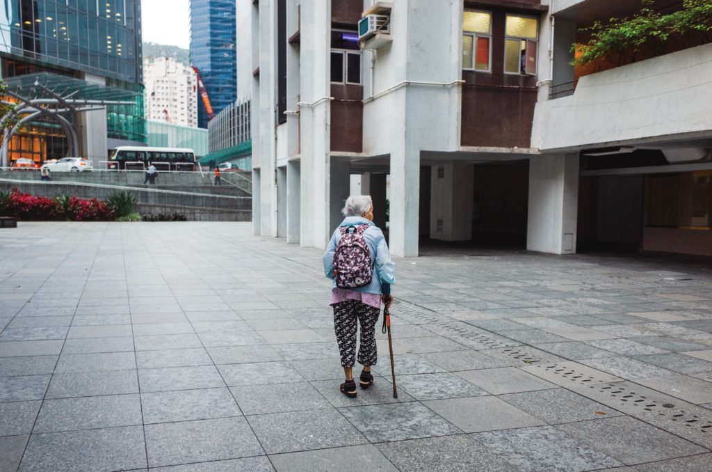
Photo: Brandon Lee (Upsplash)
Editor’s’ note: Do walkable streets promote stronger communities and stronger local economies? Strong Towns, a non-profit that works to “support a model of growth that allows America’s towns to become financially strong and resilient” has long argued that walkability is a an essential element of healthy, vibrant communities. At a recent meeting on making Amherst an Age and Dementia friendly community, sidewalks and accessibility were mentioned as a central concern. And recent discussions among Amherst residents seeking better planning for downtown have frequently mentioned walkability as an important feature of an attractive and vibrant downtown neighborhood. This compendium, The Ultimate Guide To Creating Walkable Streets was originally published by Strong Towns on May 2, 2018 and is reposted here under Creative Commons license (CC BY-SA 3.0).
Here at Strong Towns, we’re advocates for a simple concept we like to call “slow the cars” because we’ve seen in city after city that slowing down cars makes our communities more prosperous and resilient — not to mention safer.
But, while this concept is simple, the reasoning behind it and the path to get to safer streets is, by no means, easy. Today, we’re sharing our ultimate guide to building slower, more walkable streets, filled with helpful articles and resources you can use to #slowthecars in your town. We’ve broken it down into 4 key sections that will explain why we need walkable streets, how to tell if your streets aren’t walkable, and resources for building walkable streets, plus inspiring stories that will demonstrate how to build safer streets.

What’s the value of a walk-friendly street? Why do our cities benefit from being safe places to walk? Read on to find out:
- Walkable streets are more economically productive than auto-oriented streets.
- If you want community, you need to build walkability.
- Walkability isn’t just for millennials.
- Here are 5 more concrete reasons America needs walkable streets.
What makes a street dangerous for people on foot? How can we identify and call out these streets in our communities? These articles will show you:
- They’re dangerous to cross.
- They make you push a button just to cross the street.
- They’re completely pedestrian unfriendly.

So you’re convinced of the need for safer streets. Now what? The following resources will help you transform dangerous streets in walkable ones:
- See what a walkable street looks like.
- Host a pop-up traffic calming demonstration.
- Make small bets, not big gambles.
- Learn why narrow streets do more with less.
Need some inspiration? We’ve got you covered. We’re watching Strong Towns advocates create safer streets all over the country:
- Hear from world-renowned walkability expert, Jeff Speck, on our webcast.
- Learn how one Strong Towns member helped slow down cars in her city.
- Check out this Ohio town where every child can walk to school.
- Find out what to do when your neighbors push back against traffic calming measures.
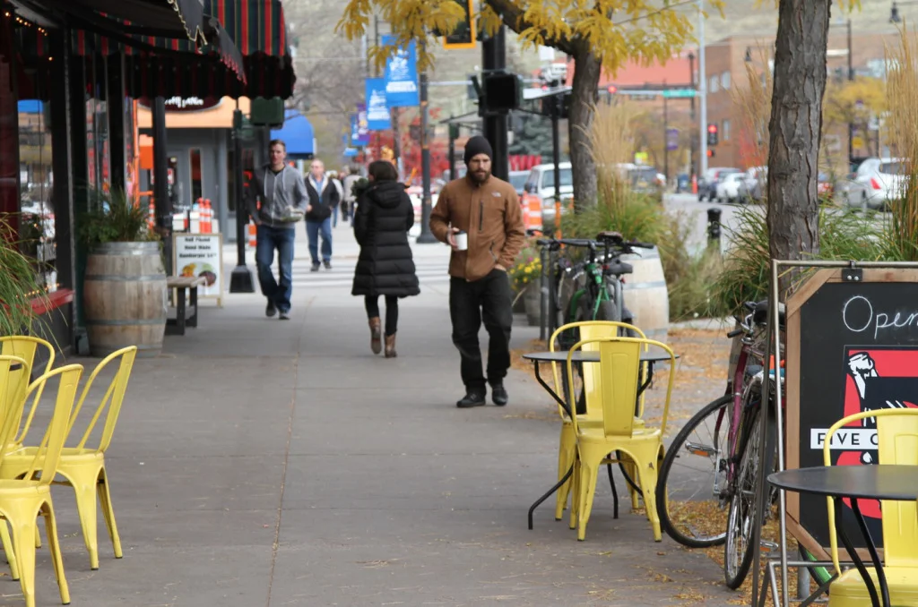
(All photos by Johnny Sanphillippo)
Thank you, Indy, for posting this resource for making streets more walkable, therefore more liveable for neighborhood and town residents. In North Amherst, the District One Neighborhood Association has on its agenda for this year to build actions around getting more sidewalks and crosswalks in the district and calming traffic on our more heavily traveled streets. I’m sure we will use the Strong Towns resources posted in this timely article.
The essence of the problem is depicted here:
https://usa.streetsblog.org/2013/02/28/sprawl-madness-two-houses-share-backyard-separated-by-7-miles-of-roads/
[this “picture worth a thousand words” is in one of this article’s references].
Some parts of Amherst continue to suffer from such absurdity. This problem could thoughtfully be remedied by neighborhood-connecting paths not associated with streets.
Also note in the photos the presence or absence of trees: a sine qua non of a walkable community!
If you look at the west side of North Pleasant Street you will see a walkable, wide sidewalk. People walk, stop to talk, go in and out of small stores and restaurants, sit outside at tables and on benches. The sidewalk is lively and inviting with trees and shrubs and flowers.
The east side, especially toward Kendrick Park– not so much. There is less room in front of stores, fewer benches and plants, although some businesses have put out planters filled with flowers. There are trees and street vendors and stores are set back from the sidewalk. This is the livelier part of the east side of North Pleasant. But as you walk north toward Kendrick Park, the sidewalk narrows and there is almost no room for people to even pass each other in front of One East Pleasant Street. A few scrubby trees are planted, the buildings tower over people, there are few small stores and the sidewalk is mostly lots of concrete. You will see very few people walking there and no one stopping to talk or window shop.
The two sides of North Pleasant could be a Jane Jacobs study in street and sidewalk design. Let’s learn from it as we get ready to develop design guidelines for our downtown.
Janet, your description of how the east side of North Pleasant Street degrades as you walk north beyond The Toy Box is quite correct. It’s too bad Jane Jacobs wasn’t around to advise our Planning Board back when the Carriage Shops were demolished.
Unfortunately, it seems that most Amherst Planning Board members in recent years have taken their cues from Robert Moses and not Jane Jacobs. Interested readers should check out Story of cities #32: Jane Jacobs v Robert Moses, battle of New York’s urban titans in The Guardian.
Jane Jacobs, Lewis Mumford and Chris Alexander have always been my guides to urban development. Why do we need consultants?
Then there is Haussmann’s Paris. Whole neighborhoods were razed, citizens displaced for the tree-shaded Grands boulevards” we love today
A town is “green” and “walkable” only if there are sidewalks linking neighborhoods to each other and to the town center. Amherst has many gaps in its walkable street plan. For example,
East Pleasant Street has a sidewalk that starts at the center of town but ends abruptly at Village Park. This is a street which is a heavily trafficked connector from Amherst to North Amherst. It is the street you use if you are heading to Cushman village or Puffer’s pond or the Mill River Recreation area. These destinations are attractive to local residents, many of whom would like to access them by walking (or running, there are a lot of runners using this loop) but they do so at their own peril, braving high speed traffic as they jog along the road edge.
This is a densely populated area. There are literally hundreds of housing units along and off East Pleasant St. (and over 1,000 residents according to the 2020 Street list): Oympia Oaks, Village Park, Grantwood Subdivision, Rolling Ridge, the subdivision between Van Meter Drive and Harlow drive, Owen Drive, Sheerman, Lane, Cherry Lane and Emily St. all of which feed into East Pleasant. Several years ago many of the residents along this corridor signed a request to the town to install a sidewalk. Town meeting approved funding for an engineering survey as a start to the project. The survey has yet to be done.
We speak glowingly about having a “green” and “walkable” town, but we concentrate our time and money on “traffic flow”. We have the vision – we just need the will.
Not to mention the sidewalks that start on one side of a street, then abruptly stop and (maybe) start on the opposite side of the street, necessitating crossing back and forth if one wishes to stay on a walkway